|
SERVICES:
Call (562) 225-3220
Property Line Survey - A survey that determines the boundary or property line through surveying techniques.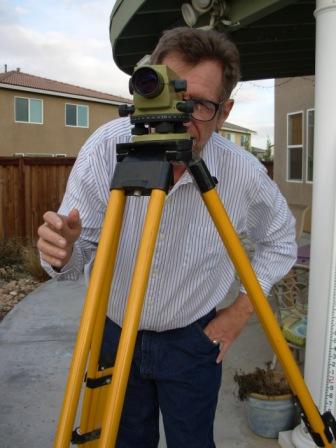
Elevation Certificate - A survey that certifies the Elevations in and around a structure such as a House or Building. Also, the square footage along with other elements is measured and noted.
Topographic Mapping - A survey that interprets the lay of the land. It may show geographic features, vegetation, buildings, waterways, etc., and is usually expressed in the form of a map.
Construction Staking - Staking the location, using surveying methods, for new construction of buildings, parking lots and houses
Hydrographic Survey - A survey that determines the depth and horizontal location of a body of water such as a river, lake, harbor, etc.
A.L.T.A - A survey that is used to help determine the value of a property for title insurance purposes.
Emergency Survey - A survey that needs a response immediately or on a priority basis. This will require an extra cost.
|